
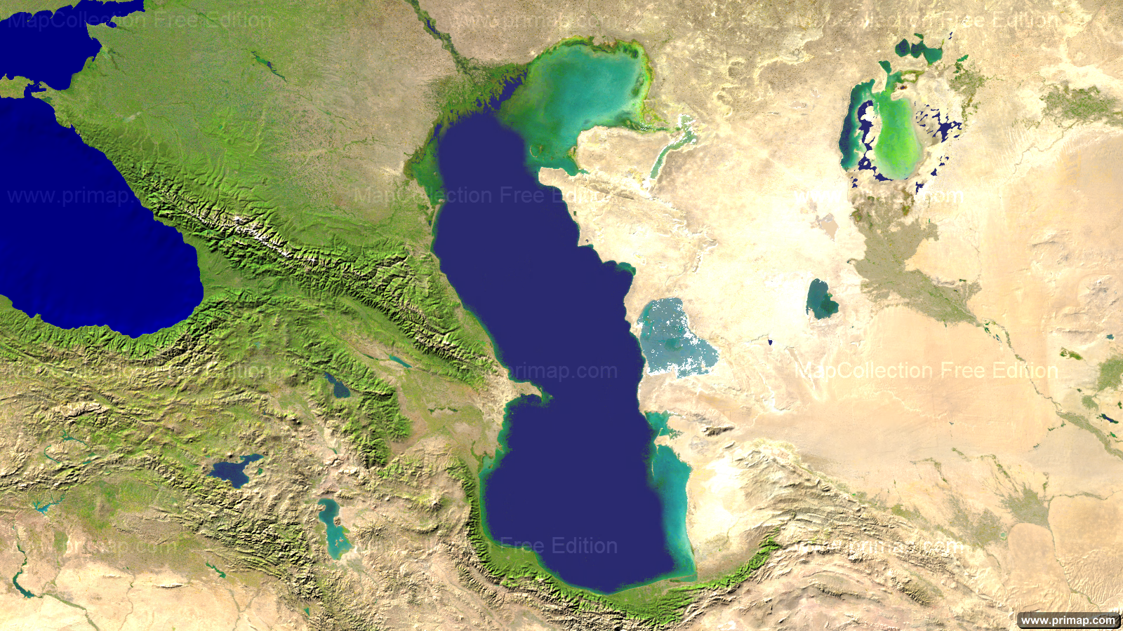
Marine charts - Caspian Sea - Satellite - 1600x900 (16:9)
|
|
Editions
This Map is available in the three Editions Free, Personal and Professional. The differences are described under Editions.
Formats
The Map is available in picture format (PNG) and MapCreator format. That allows easy further processing of the Map.
Download Free Edition
To Download the Map (Free Edition) please click here.
Personal and Professional Edition
The Personal and Professional Edition of this Map are components of the MapCollection Package Marine charts.
Use of the Map
The maps of the MapCollection can be used in presentations without further enquiries. You can find out more about this under Map licenses.