
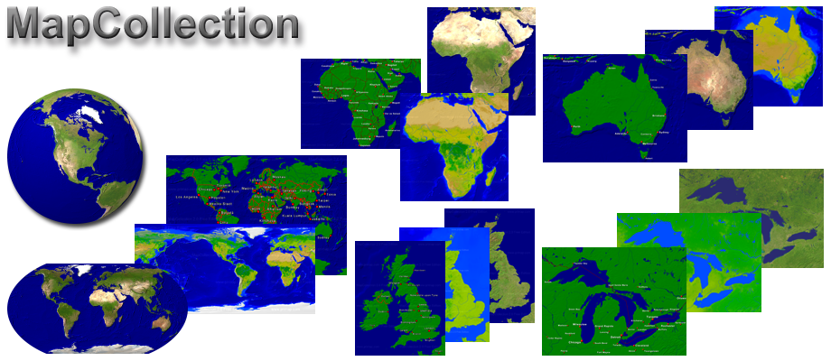
MapCollection is a collection of high resolution Maps. The range includes different Map extracts (World Maps, Continental Maps, National Maps, ...), Map sizes (in pixels) and Map contents (terrain, cities, boundaries, waters). The Maps were created with MapCreator and are available in picture format (PNG) and MapCreator format. That allows easy further processing of the Maps.
| World maps | |
| Continental maps | |
| National maps | |
| Marine charts | |
| Pole maps |
Use of the Maps
The maps of the MapCollection can be used in presentations without further enquiries. You can find out more about this under Map licenses.
Editions
MapCollection is available in the Editions Free, Personal and Professional. The differences are described under Editions. In the Personal and Profesional Edition the maps are collected in Packages.