
New features in MapCreator 3:
- Additional geographic data for improved map display
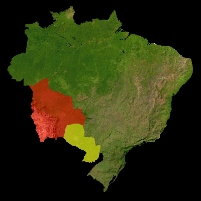
- Individual countries can be highlighted or isolated
- GPS files can be imported and displayed as a route
- Integration and creation of OpenStreetMaps
- Boundaries of the federal states can be drawn
- Map symbols can be rotated and colorized
- New map type Countries
- Labeling of countries including the country flag
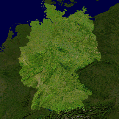
- Updated country boundaries
- Adding additional locations
- Capitals can be drawn separately
- Import your own maps
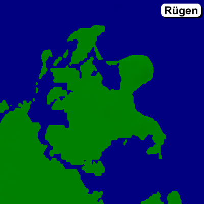
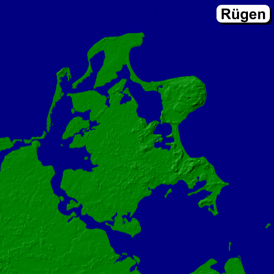
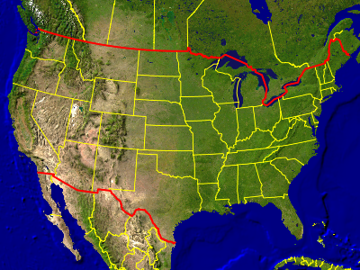
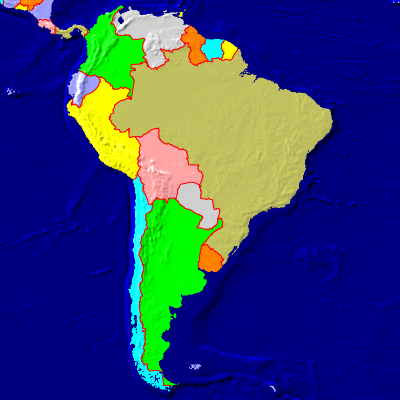
Additional geographic data for improved map display
MapCreator 2 |
MapCreator 3 |
 |
 |
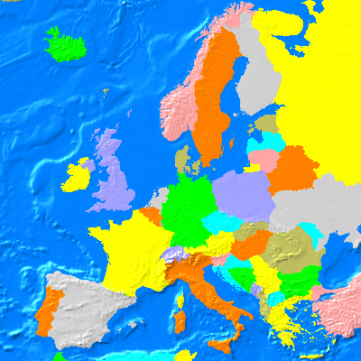
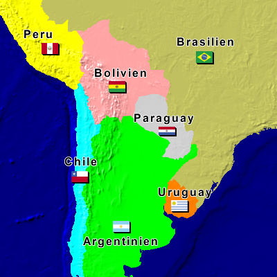
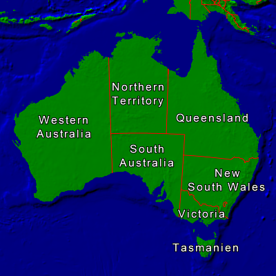
Individual countries can be highlighted or isolated
 |
 |
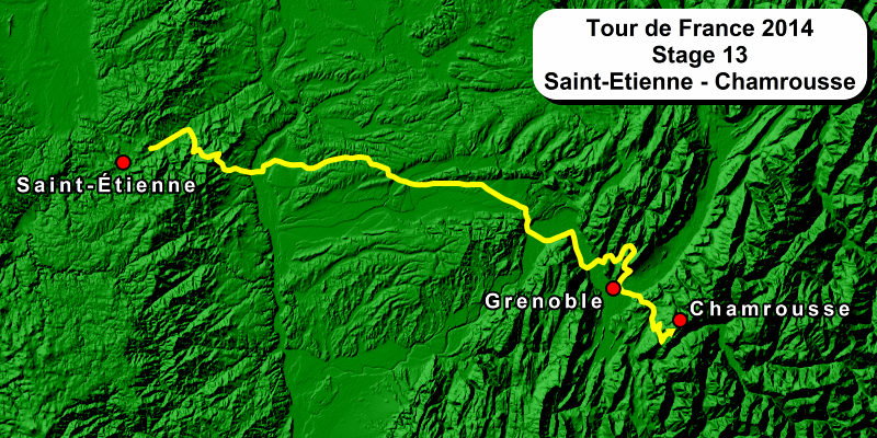
GPS files can be imported and displayed as a route
Tour de France 2014, Stage 13, imported as GPX file.
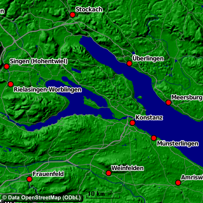
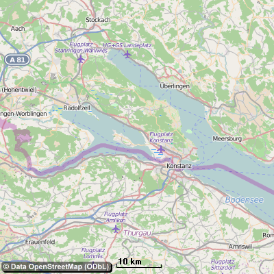
Integration and creation of OpenStreetMaps
OpenStreetMap maps from various sources can be used. The maps are georeferenced, routes from GPX files can be imported.
primap Style (configurable) |
Standard Style |
 |
 |
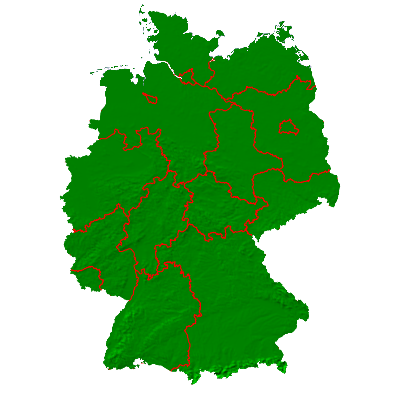
The boundaries of the federal states can be drawn
 |
 |
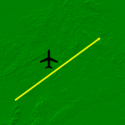
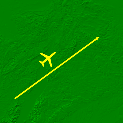
Map symbols can be rotated and colorized
MapCreator 2 |
MapCreator 3 |
 |
 |
 |
 |
Labeling of countries including the country flag
 |
 |
The country boundaries has been updated.
If a location is not available in the integrated database, it can be inserted manually.
Capitals can be drawn separately
The font and the symbol of the capitals can be set separately.
If you have a map, saved in a picture format, you can import it in MapCreator. In these maps routes or other map objects can be drawn.